A three-source blend of clear-sky days, total solar energy and how many days a year it actually rains, not one satellite reading standing in for all of it.
The Honest LocalA community forum for neighbors
Rankings · Least Sunny States
Vermont Is the Least Sunny of Any State (2026)
Least Sunny States, read from the other end of our sunniest states list. Same readings, same sources, all 50 states.
By The Honest Local · 50 states · every value links to its public source
3.8Vermont leads on The Honest Local Sunshine Score, all 50 statesClear days, how strong the sun is, and how rarely it rains, blended into one number.
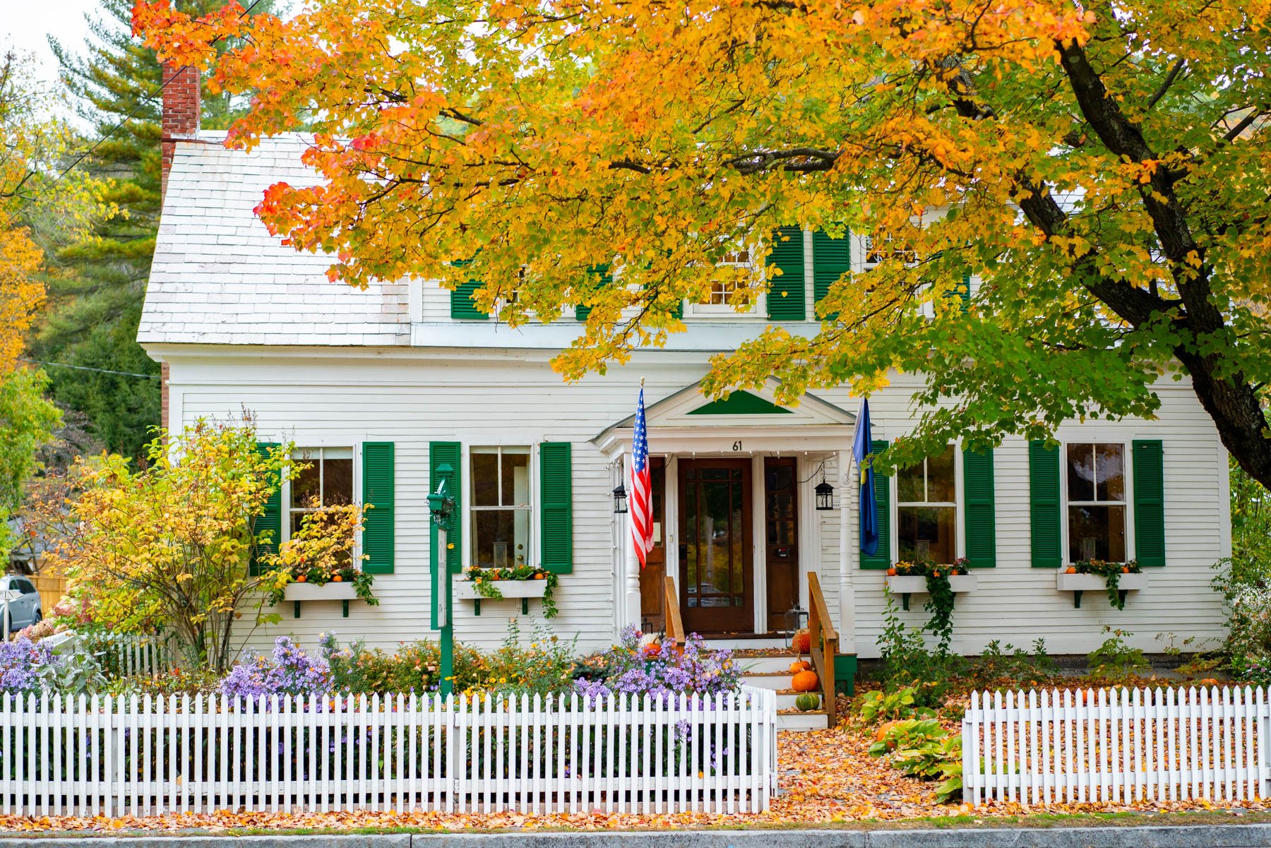
The top five states
 No. 1Vermont3.812 clear days a year
 No. 2Maine10.716.5 clear days a year
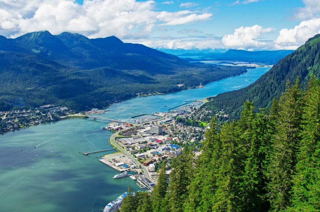 No. 3Alaska12.41.3 clear days a year
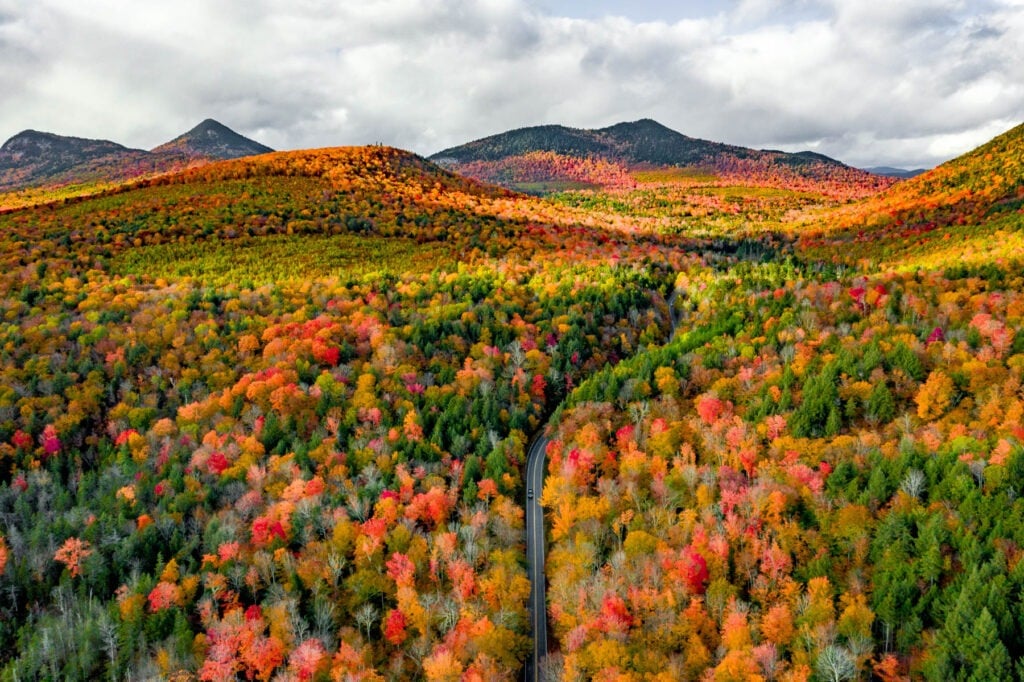 No. 4New Hampshire12.820.7 clear days a year
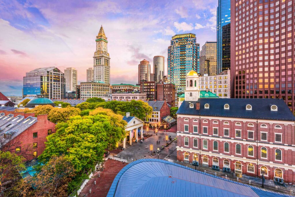 No. 5Massachusetts14.922.1 clear days a year
Least Sunny States on the map
Sunshine Score, states
Loading the numbers…
Least Sunny States, all 50
The full ranking
| Place | Sunshine Scoreout of 100 | Clear daysa year | SolarkWh/m² a day | Wet daysa year | |
|---|---|---|---|---|---|
| 1 | Vermont | 3.8 | 127 | 3.541 | 1574 |
| 2 | Maine | 10.7 | 1712 | 3.695 | 13116 |
| 3 | Alaska | 12.4 | 12 | 2.510 | 12235 |
| 4 | New Hampshire | 12.8 | 2115 | 3.8011 | 13213 |
| 5 | Massachusetts | 14.9 | 2217 | 3.8313 | 13115 |
| 6 | Wisconsin | 15.6 | 1611 | 3.758 | 12628 |
| 7 | Ohio | 16.2 | 2216 | 3.9323 | 13610 |
| 8 | Michigan | 16.9 | 2424 | 3.8012 | 13115 |
| 9 | Pennsylvania | 17.8 | 2426 | 3.8717 | 13610 |
| 10 | Washington | 19.6 | 3551 | 3.643 | 1515 |
| 11 | Rhode Island | 21.4 | 1410 | 4.0430 | 12725 |
| 12 | West Virginia | 21.8 | 2631 | 3.9928 | 1476 |
| 13 | Connecticut | 25 | 2427 | 3.9121 | 12727 |
| 14 | New Jersey | 26.3 | 2320 | 3.9626 | 12433 |
| 15 | New York | 27.8 | 2632 | 4.0228 | 12823 |
| 16 | Indiana | 29.9 | 3141 | 4.0531 | 13018 |
| 17 | Minnesota | 31.2 | 2423 | 3.8817 | 11653 |
| 18 | Kentucky | 32.5 | 3244 | 4.1537 | 13117 |
| 19 | Illinois | 33.3 | 2938 | 3.9526 | 12137 |
| 20 | North Dakota | 35.5 | 2217 | 3.9021 | 10369 |
| 21 | Delaware | 36.9 | 2837 | 4.1437 | 12138 |
| 22 | Maryland | 37 | 2735 | 4.1234 | 12042 |
| 23 | Montana | 44.2 | 2735 | 4.0429 | 10669 |
| 24 | Virginia | 45.7 | 3651 | 4.3846 | 12040 |
| 25 | Iowa | 46.4 | 3244 | 4.1639 | 11456 |
| 26 | South Dakota | 47.4 | 2733 | 4.1638 | 10271 |
| 27 | Florida | 49.6 | 1812 | 5.0083 | 11554 |
| 28 | Tennessee | 50 | 4664 | 4.3846 | 12040 |
| 29 | the US Virgin Islands | 56 | 138 | 5.94100 | 11260 |
| 30 | North Carolina | 56.6 | 4867 | 4.4952 | 11651 |
| 31 | Nebraska | 56.8 | 3854 | 4.3544 | 9972 |
| 32 | Alabama | 57.5 | 4765 | 4.6161 | 11847 |
| 33 | Hawaii | 57.7 | 00 | 5.7996 | 8977 |
| 34 | Wyoming | 57.7 | 3039 | 4.5860 | 9374 |
| 35 | South Carolina | 59.6 | 3549 | 4.6866 | 10964 |
| 36 | Missouri | 60.3 | 4765 | 4.3344 | 10172 |
| 37 | Georgia | 64.5 | 5476 | 4.6262 | 11455 |
| 38 | Mississippi | 65.2 | 5273 | 4.6764 | 11358 |
| 39 | Louisiana | 67.1 | 5274 | 4.6865 | 11162 |
| 40 | Kansas | 67.5 | 5578 | 4.4951 | 9374 |
| 41 | Arkansas | 68.2 | 6185 | 4.5053 | 10767 |
| 42 | Colorado | 70.5 | 3550 | 4.8778 | 8684 |
| 43 | Idaho | 73.9 | 6184 | 4.5659 | 8979 |
| 44 | Texas | 76.3 | 5781 | 4.8072 | 9076 |
| 45 | Oklahoma | 79.9 | 6891 | 4.7069 | 8780 |
| 46 | Utah | 81.8 | 6287 | 4.9180 | 8880 |
| 47 | Nevada | 83.8 | 4160 | 5.4492 | 3099 |
| 48 | New Mexico | 91.7 | 6790 | 5.5094 | 5691 |
| 49 | California | 92.1 | 10394 | 5.2989 | 4794 |
| 50 | Arizona | 96.4 | 12895 | 5.8097 | 3697 |
Sources and method
How we got this. The Sunshine Score is The Honest Local’s own recipe. Each source ranks every place on its own from 0 to 100 and the score is the average, so a place has to do well on all of them to lead. We don't trust one satellite reading to call a place sunny, so we combine three. NASA's count of clear-sky days a year, NASA's measure of how much solar energy reaches the ground each day, and NOAA's count of how many days a year it actually rains, turned around so fewer wet days scores higher. Each source ranks every place against every other place that has it, and the average of the three ranks is the score that decides the list. The number we show you is still the plain count of clear days, since that's what people picture when they hear sunny. A city uses its own coordinates and its own weather station. For a state we never hand you one city's reading and call it the state's. We take its five largest cities, weight them by population, and run every source across all five. When a place is missing one source we score it on the other two and say so in its row. It refreshes once a year, when NASA and NOAA publish. For Vermont, that means population-weighted across Burlington, South Burlington, Rutland, Essex Junction and Winooski (2024 Census population estimates), never one city standing in for the whole state; clear-sky days and solar are each city's own 2021-2025 NASA POWER mean, population-weighted.
Rankings by The Honest Local from public data, one page per list, refreshed on each source’s own cycle. Places with no reading are left out rather than estimated. Every value on this page carries its source in the page’s structured data.
Photos Shutterstock/Greg Browning · Shutterstock.