Inches of precipitation a year, from NOAA's 1991-2020 climate normals; driest first.
The Honest LocalA community forum for neighbors
Rankings · Driest States
Driest States, Nevada Leads (2026)
Inches of precipitation a year, from NOAA's 1991-2020 climate normals; driest first.
By The Honest Local · 50 states · every value links to its public source
4.8 inNevada leads with the lowest inches of rain a year of all 50 states
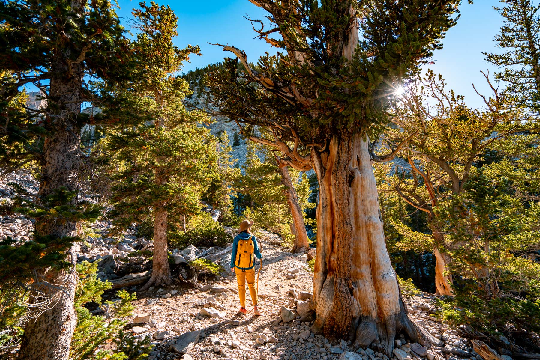
The top five states
 No. 1Nevada4.8 ininches of rain a year
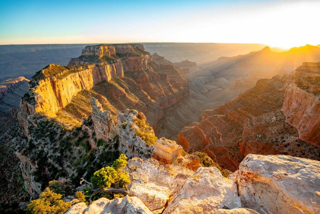 No. 2Arizona8.6 ininches of rain a year
 No. 3New Mexico9.3 ininches of rain a year
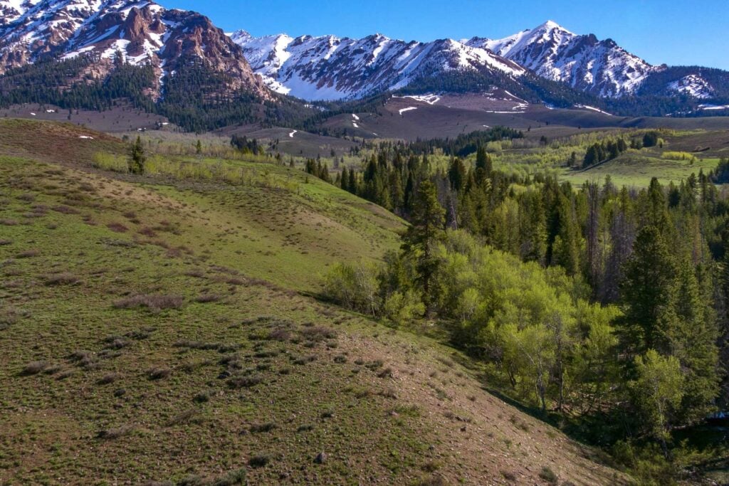 No. 4Idaho11.3 ininches of rain a year
 No. 5Wyoming12.6 ininches of rain a year
Driest States on the map
Driest cities and states by annual rainfall, states
Loading the numbers…
Driest States, all 50
The full ranking
| Place | inches of rain a year | |
|---|---|---|
| 1 | Nevada | 4.8 in |
| 2 | Arizona | 8.6 in |
| 3 | New Mexico | 9.3 in |
| 4 | Idaho | 11.3 in |
| 5 | Wyoming | 12.6 in |
| 6 | California | 13.9 in |
| 7 | Montana | 14 in |
| 8 | Utah | 14.8 in |
| 9 | Colorado | 15.4 in |
| 10 | Hawaii | 16.4 in |
| 11 | Alaska | 20.4 in |
| 12 | North Dakota | 21.6 in |
| 13 | South Dakota | 24.9 in |
| 14 | Nebraska | 30.6 in |
| 15 | Minnesota | 31.2 in |
| 16 | Michigan | 32 in |
| 17 | Illinois | 34.4 in |
| 18 | Washington | 34.4 in |
| 19 | Wisconsin | 34.5 in |
| 20 | Iowa | 35.3 in |
| 21 | Kansas | 36.3 in |
| 22 | Oklahoma | 37.8 in |
| 23 | Vermont | 37.9 in |
| 24 | Ohio | 38.4 in |
| 25 | Missouri | 40.3 in |
| 26 | New Hampshire | 41.5 in |
| 27 | Texas | 42.1 in |
| 28 | Indiana | 42.7 in |
| 29 | Maryland | 42.7 in |
| 30 | West Virginia | 43.8 in |
| 31 | Connecticut | 44.3 in |
| 32 | Massachusetts | 44.3 in |
| 33 | Pennsylvania | 44.5 in |
| 34 | North Carolina | 44.5 in |
| 35 | Delaware | 44.8 in |
| 36 | South Carolina | 45.6 in |
| 37 | Virginia | 46.4 in |
| 38 | New Jersey | 46.5 in |
| 39 | Georgia | 47.4 in |
| 40 | Rhode Island | 47.5 in |
| 41 | Maine | 47.7 in |
| 42 | Arkansas | 48.2 in |
| 43 | Kentucky | 48.5 in |
| 44 | New York | 48.7 in |
| 45 | Florida | 50.2 in |
| 46 | Tennessee | 52.2 in |
| 47 | Alabama | 55.8 in |
| 48 | Mississippi | 56.7 in |
| 49 | the US Virgin Islands | 57.2 in |
| 50 | Louisiana | 59.2 in |
Sources and method
How we got this. Annual rainfall comes from tape_readings, which src/tape/rain.ts reads from NOAA NCEI's 1991-2020 monthly climate normals (monthly precipitation summed to a year) at the nearest airport-network station that carries the field. A state is the population-weighted mean of its five largest cities' readings. Cities and states each rank on their own list, driest first. It refreshes static normals; re-run any time.
Rankings by The Honest Local from public data, one page per list, refreshed on each source’s own cycle. Places with no reading are left out rather than estimated. Every value on this page carries its source in the page’s structured data.